


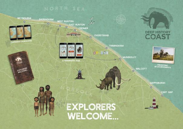
North Norfolk's Deep History Coast is a 22-mile stretch of coastline between Weybourne and Cart Gap and is steeped in millions of years’ worth of history. With wonderful beaches, ideal for fossil and artefact hunting and a fascinating Discovery Trail, with fact revealing Discovery Points along the way, there is a lot to discover. There is a free downloadable Deep History Coast App to bring the trail to life linking with the Discovery Points along the way with information and interactive activities.
Through the app, you’ll be able to see the past come back to life and find out what life in Doggerland was like through the eyes of a hominin family, watch animals from 800,000 years ago roam the land and find out the names of any fossils you may find. Discovery Points are located at each of the main villages and towns. Here we focus on East Runton.
ABOUT EAST RUNTON
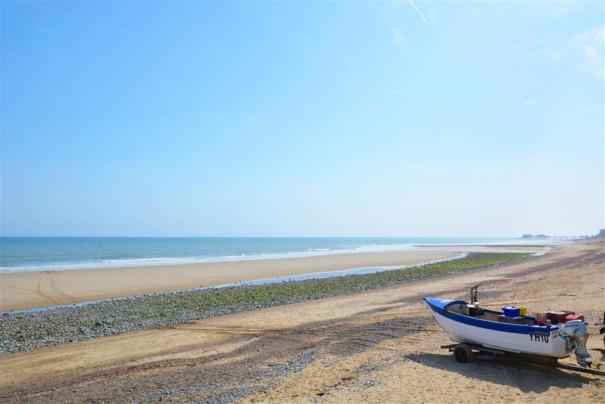
East Runton with its sandy beach is backed by sloping sandstone cliffs and countryside beyond. Alongside the neighbouring West Runton beach, you can explore rockpools and find fossils for it was at West Runton that a mammoth skeleton was discovered.
The villages of East and West Runton are situated between Sheringham and Cromer one mile apart on the north Norfolk Coast. Both Blue Flag beaches are unspoilt, with miles of footpaths and bridleways to explore and you can see Cromer Pier jutting out to sea in the distance.
EARLY HISTORY
An extract from the Doomsday book reveals that in the 11th century, Runton was known as Rugutune. The government censuses from 1871, tells of a farming, fishing and agricultural history; in the parish there were 45 agricultural labourers, 40 fishermen and 17 farmers. In the beginning of the 20th century, around 1902, the railways were being built with viaducts constructed at East Runton. Many of the farmworkers then went to work on the railways and bridges because the pay was better.
If you walk along the beach from East Runton to Cromer (takes about ten minutes), you will come across a World War Two type 22 pillbox which is half-buried on the beach between the high and low tide line. These pill boxes were used for defence against a possible enemy invasion. They were built in 1940 and into 1941.
DEEP HISTORY
Today, East Runton village is on the Deep History Coast Trail with a Discovery Point by the beach which provides visitors with lots of interactive information about how the area looked millions of years ago. Download the App to find out more about the area's history, as well as play games and identify any fossils you find along the beach.
Like West Runton next door the beach here is of interest to geologists and fossil hunters alike. The largest chalk reef in Europe runs through the waters at East Runton and a wealth of fossils can be found on the beach.
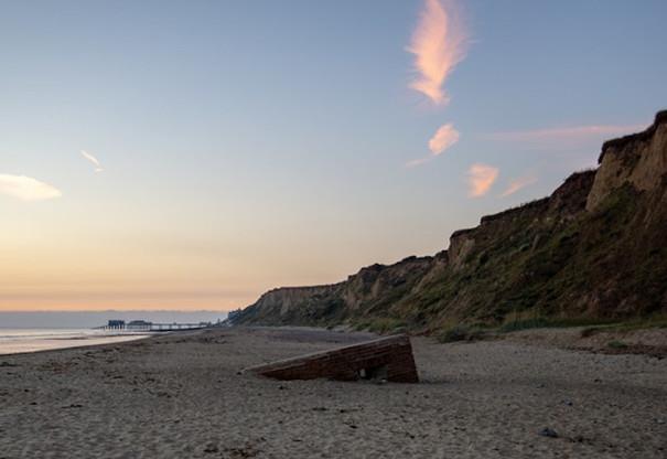
The beach is the best known for its mammal remains from the Pastonian Stage interglacial. It also is one of the only places where you can find chalk cliffs on top of Pleistocene deposits. Glaciers were responsible for these spectacular cliffs and at the top, you can find glacial sands and gravels. Below this is the Beeston Chalk; not continuous, because rafts of ice transported the chalk from elsewhere and created a highly deformed ‘contorted drift’ which means in some areas, there is no chalk, while in others, it forms the bulk of the cliffs.
The geologically older chalk sits on the younger Pastonian clay conglomerate and marine shell beds are exposed as light blue clay on the foreshore.
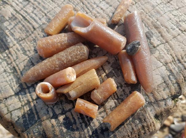
You can mainly find belemnites in the foreshore exposures at East Runton. Echinoids and corals can also be less commonly found. In the gravel beds, you can often find vertebrate fauna, including carnivores, extinct horses, mammoths and comb-antlered deer. This is considered the best available locality for fossil vertebrates of this age.
Please note, that East Runton is a site of Special Scientific Interest (SSSI) which prohibits digging into the cliffs or bedrock.
Things to do in East Runton
The village of East Runton has a good variety of shops and there are pubs and restaurants. Buses are frequent through both villages and there is a railway station at West Runton.
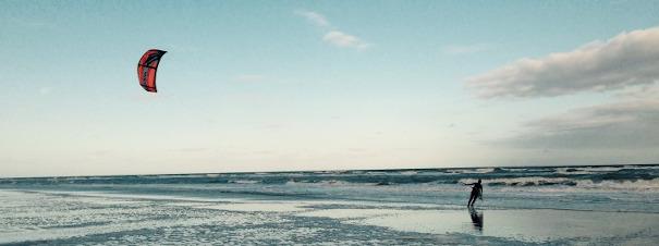
Towards the high tide mark the beach is somewhat pebbly, however as the tide goes out, sand is revealed, providing great family fun for bucket and spade days. There are plenty of rock-pools East Runton and opportunities to fossil hunt on the foreshore. The beach at East Runton is also one of Norfolk’s most popular surfing and kitesurfing spots. On the cliff-top overlooking the beach is the Surfers’ Memorial with its figure of a surfer as a weather vane.
Related
Comments
Comments are disabled for this post.
